
1/11

+ 6
images
Western Region, Takoradi, 21/06
21 views
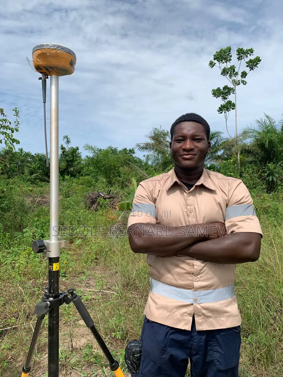
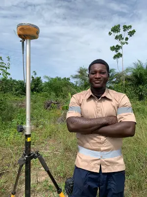
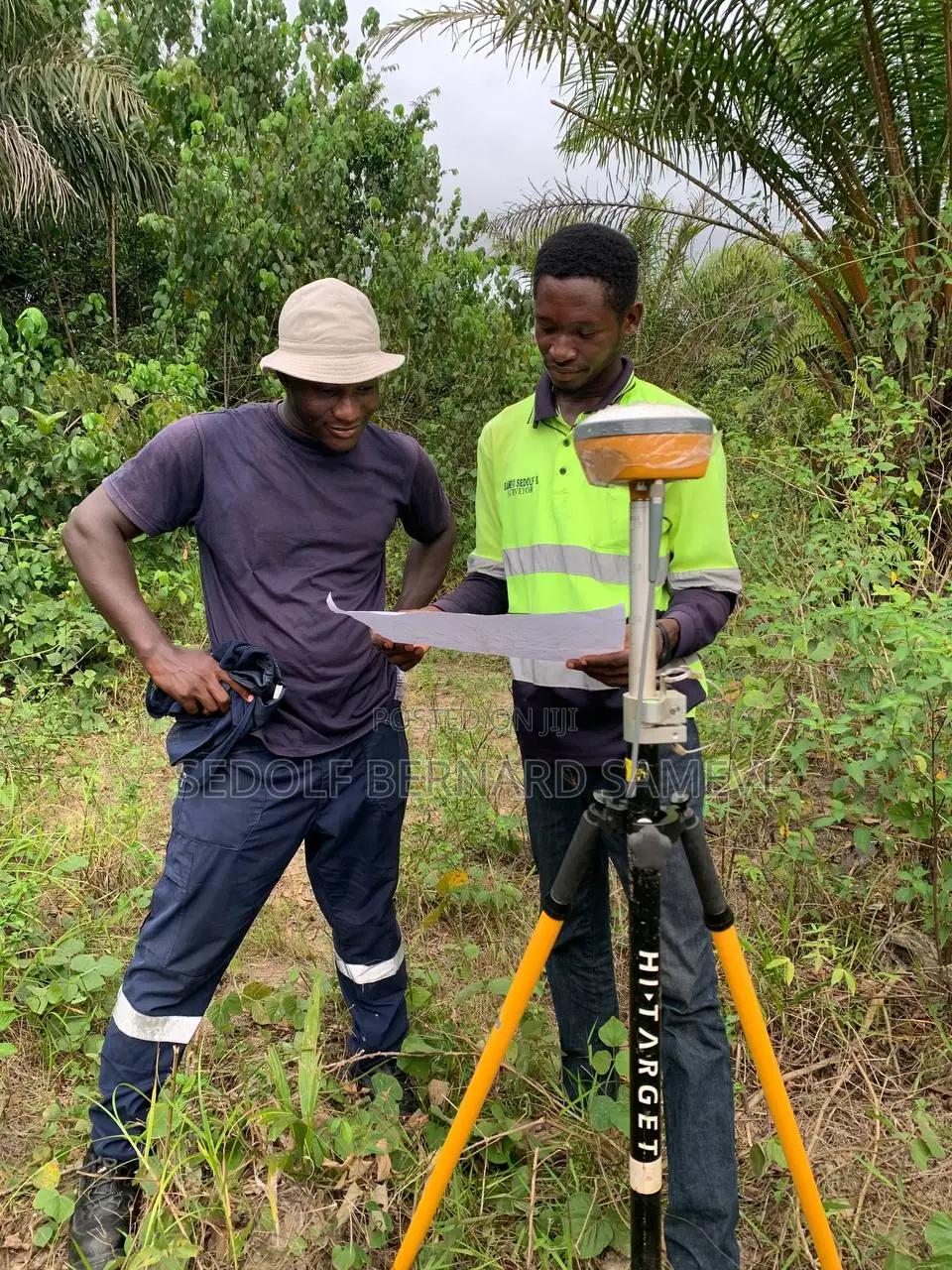
Land Surveyor / Drone Surveys
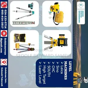
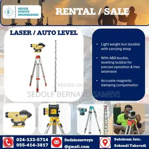
Sedzie Survey Engineering
Company Name
Domestic & Industrial
Service Type
Surveying
Type
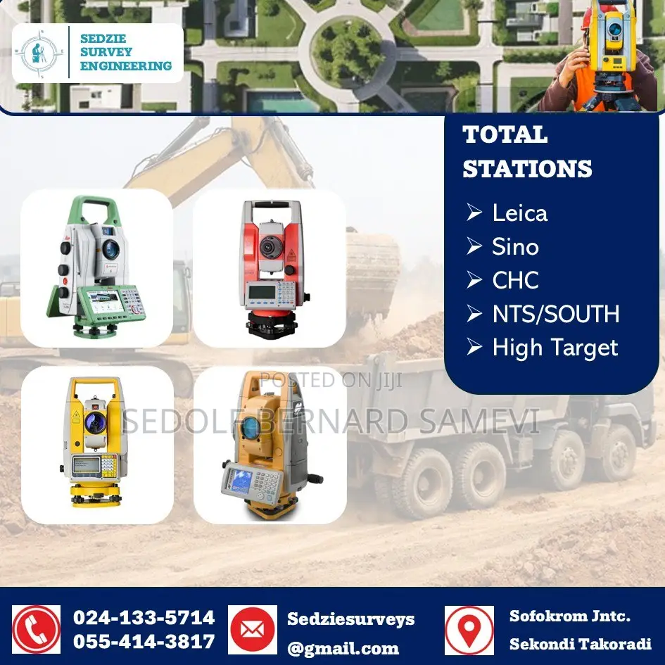
3D Laser Scanning (Lidar), Construction Layout Surveys, Geodetic Control Surveys, Hydrographic Surveys, Settlement Surveys, Volume Surveys
Surveying Service Type
more than 5 years
Surveying Work Experience
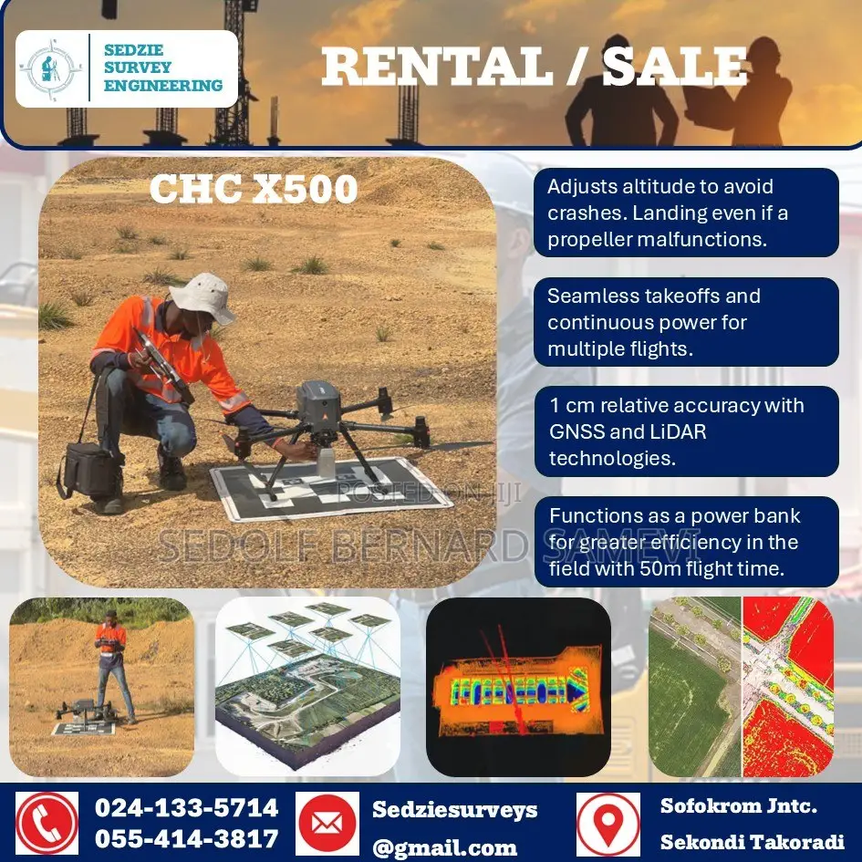
Sedzie Survey Engineering is a specialized geospatial and engineering consultancy firm based in Sekondi-Takoradi, Ghana.
We deliver high-precision spatial data, mapping, and engineering design solutions for infrastructure, mining, and land development across West Africa.
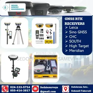
We utilize advanced technologies, including industrial drone LiDAR for vegetated terrain mapping and high-end GNSS frameworks for geodetic control.
Our digital workflow leverages industry-standard software like AutoCAD Civil 3D and ArcGIS Pro to translate field data into actionable engineering intelligence.
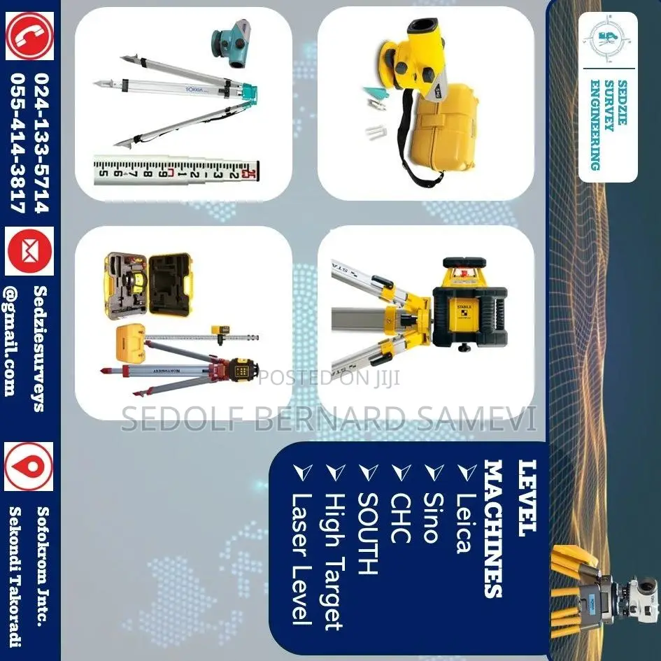
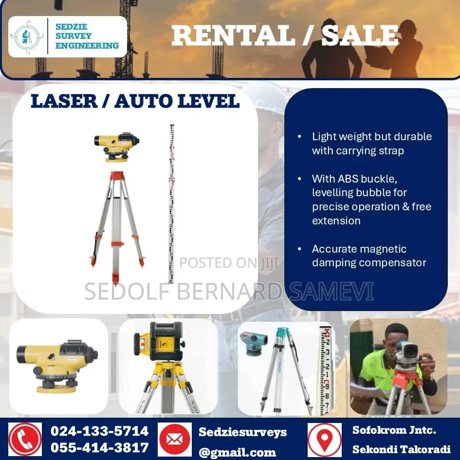
The company is actively into instrument rentals, precision agriculture remote sensing, and localized RTK hardware distribution.


Contact for price
Safety tips
- Check Feedback to make sure the person is reliable
- Agree on the scope of work and remuneration
- Meet in person at a safe public place


