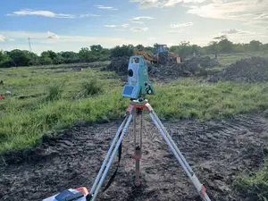
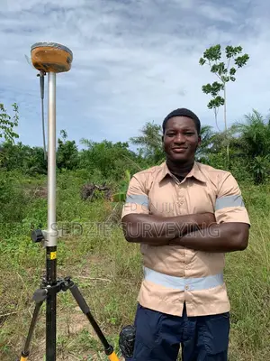
Sedzie Survey Engineering is a premier geomatics and geospatial engineering firm based in Sekondi-Takoradi, Ghana. Specializing in high-precision surveying, aerial mapping, and advanced spatial data solutions, the firm delivers reliable technical foundations for complex infrastructure, industrial development, and resource exploration projects across West Africa. Driven by a commitment to accuracy, efficiency, and cutting-edge technology, Sedzie Survey Engineering integrates traditional geodetic surveying with state-of-the-art methods—including unmanned aerial vehicle (UAV) photogrammetry, LiDAR scanning, and static GNSS data capture. Backed by extensive field experience ranging from large-scale road design surveys to raw material inventory reviews, the firm provides engineers, developers, and corporate partners with the actionable geospatial insights needed to bring major projects from concept to completion.