
1/2
Greater Accra, Spintex, 2 days ago
51 views
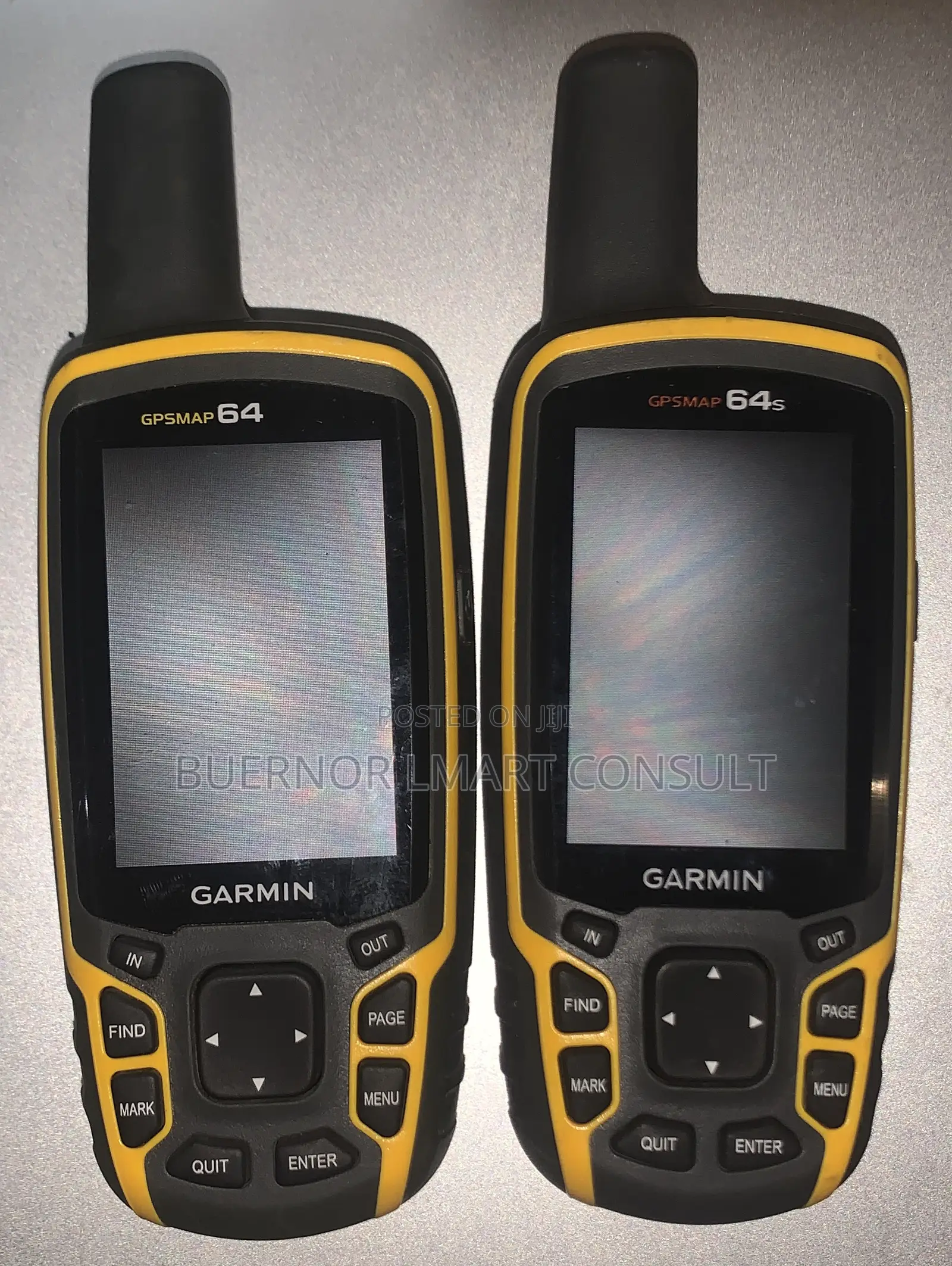
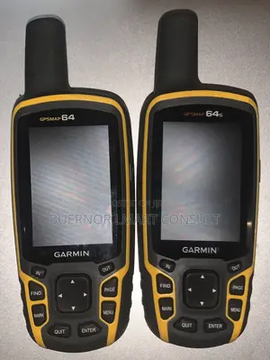
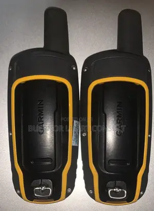
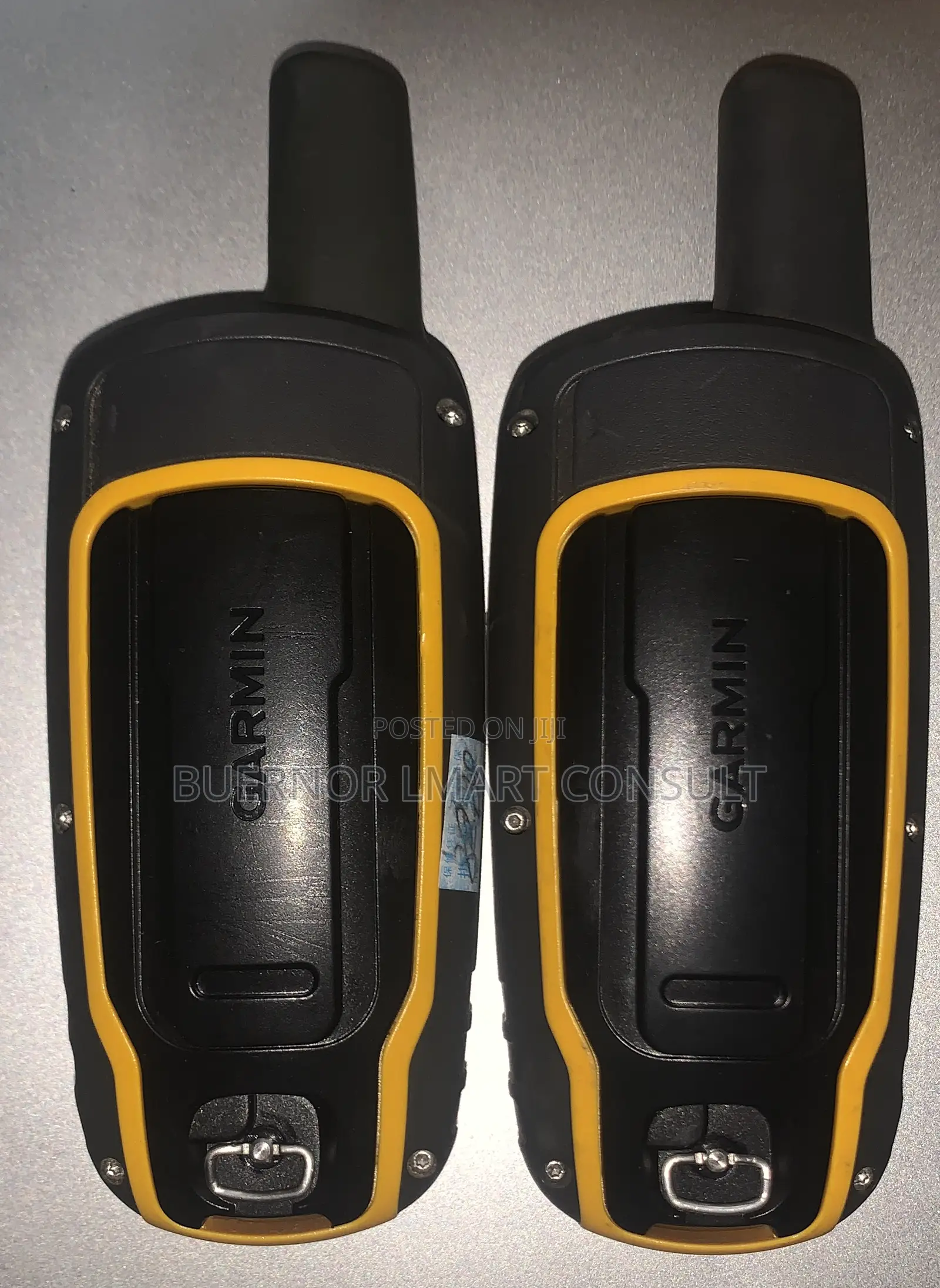
Garmin GPS 64S
Brand New
Condition
Garmin
Brand
GPS Devices
Type
1.43inches
Display Size
16hours
Battery Life
Other
Map Type
4 GB
Memory Capacity
SD Card
External Memory Type
Area Measurement, Distance Measurement, Fogproof Display, GLONASS Available
Device Features
Store address
Greater Accra • Tema Metropolitan
Fishing harbour Tema
Just WhatsApp me on,
Open
• Mon - Sun, 06:00-23:00
Comes with a basemap that you could still use to follow your own track and you get a free regional 24K topo map that you can download via your computer.Uses GPS satellites as well as Russian GLONASS satellites, which means that in heavy tree cover or canyons, you still get a signal.
Can be connected to your computer via USB and tracks can be transferred via BaseCamp.
Waterproof and durable.It’s a handheld device that also comes with a way to carabiner/clip it to your bag or a mount to put on a bike.
Great at determining elevation with a barometric altimeter and electronic compass gives good bearings on which way you’re facing, even if you’re not holding the device level.
Safety tips
- Avoid paying in advance, even for delivery
- Meet with the seller at a safe public place
- Inspect the item and ensure it's exactly what you want
- Make sure that the packed item is the one you've inspected
- Only pay if you're satisfied


